← BFi53ER0 / BFi53ER0S EdgeRouter Solution · Virtual AIS: Maritime & Disaster Response (in development)

Drones, crews and field sensors, on the chart you already use.

Ships announce themselves with AIS. Drones broadcast Remote ID; crews, beacons and field sensors report over Bluetooth LE and DECT NR+. BFi53MLG modules and BFi53ER0 / BFi53ER0S EdgeRouters collect them, and a Virtual AIS output turns each position and status into standard AIS messages sent over your IP network — so the chart plotters and vessel-monitoring software already in use show them as targets, unchanged. IP only: nothing is transmitted on the marine VHF channels.

Product combinationBFi53MLG modules + BFi53ER0 / BFi53ER0S EdgeRouters

In development Bluetooth LE + DECT NR+ NMEA 0183 over UDP / TCP IP only · no VHF
Fishing fleet in a harbour
Fishing fleets & ports · maritime
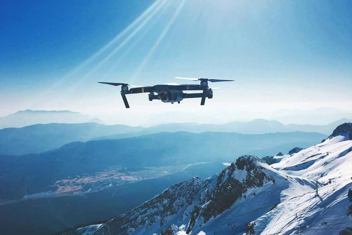
Drone over mountains
Airspace · Remote ID
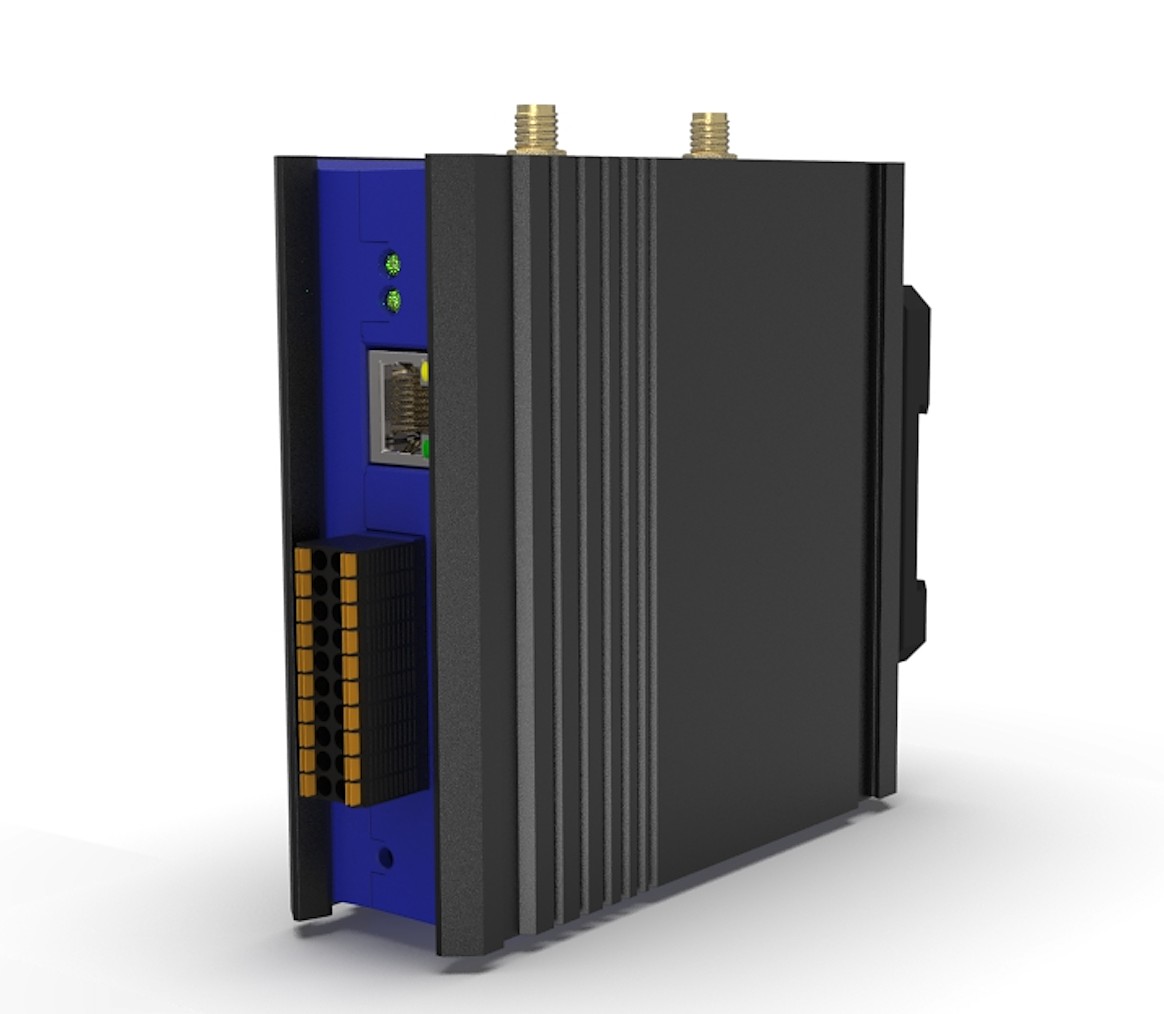
BFi53ER0S EdgeRouter
BFi53ER0S · mesh root
Where it is used
Offshore wind turbines at sea
Offshore wind & marine works
Mountain hut among forest and rock
Mountain huts & disaster response
Three products, three roles

A receiving network with no base station and no SIM.

Receivers sit where the signals are — on a dock, a lamp post, a mast or a vehicle. The gateways merge what they hear, add signal strength and hand it to your platform; the BFi53ER0S carries it home over a licence-free DECT NR+ mesh where there is no cable.

Embedded receiver

BFi53MLG module

  • Nordic Semiconductor nRF5340 + front-end module (PA / LNA)
  • Bluetooth LE 1M / 2M / Coded PHY, Mesh, 802.15.4
  • 12 × 16 mm M.2 LGA; core rated −40 to +105 °C
  • Built into docks, lamp posts, camera poles and vehicles — module details
Bluetooth LE gateway

BFi53ER0 EdgeRouter

  • Listens on all three Bluetooth advertising channels, all the time
  • Merges the copies of each message, adds signal strength and a missed-message count
  • JSON and Virtual AIS over UDP / TCP, IPv4 and IPv6
  • PoE+ or 14–32 V DC, on shore, at a port or in a hut
Mesh root & gateway

BFi53ER0S EdgeRouter

  • Bluetooth LE and DECT NR+ in one unit
  • Root of a multi-hop DECT NR+ mesh for sites beyond cable and cellular
  • DECT NR+ up to +21 dBm (1.9 GHz) / +19 dBm (915 MHz)
  • Also receives Bluetooth LE itself
Virtual AIS

One set of positions, one more output.

The platform converts every drone, crew member and beacon it tracks into AIS messages in NMEA 0183 and sends them over UDP or TCP. Chart and vessel-monitoring software reads them like any other AIS feed — no plug-in, no change.

!AIVDM,1,1,,A,…*hh  →  UDP / TCP

What the chart shows

Position, course and speed, name, and status: reporting, lost contact — with the last known position and time — or SOS. Drones and people appear as distinct target types.

IP only, never on VHF

Nothing is transmitted on the marine AIS channels, so no AIS transmitter licence is involved. The feed stays on your network.

Never mistaken for a real target

Identifiers come from the platform’s own numbering and stay clear of the ranges reserved for AIS-SART, man-overboard and other safety devices.

Applications

At sea, in the mountains, and in the air above them.

Maritime

  • Fishing fleets, offshore wind and marine works
  • A gateway on shore or aboard as the root; crews and equipment check in on schedule
  • A missed check-in puts the last known position and time on the chart

Disaster prevention & response

  • Mountain huts, trailheads, shelters and patrol teams, relayed along the route over DECT NR+
  • Regular check-ins; a lost-contact alert marks where a search should start
  • Teams and the drones supporting them on one map

Airspace awareness

  • Ports, power plants, campuses and event sites
  • Drones broadcasting Remote ID (FAA 14 CFR Part 89 in the U.S.) shown with their position and operator location
  • Your own fleet: take-offs, landings and tracks, shared across docking stations
Where it stands

The hardware exists; the application is in development.

Hardware and capabilities todayWhat this application will build on

  • The three products: BFi53MLG module, BFi53ER0 and BFi53ER0S EdgeRouters
  • Bluetooth LE capture and forwarding as JSON over UDP and TCP, IPv4 and IPv6
  • BANFi’s own DECT NR+ stack: multi-hop mesh, make-before-break handover and paging of a specific device
  • Public hardware specification for the BFi53ER0 / BFi53ER0S and the BFi53MLG module

In developmentScheduled for the product release

  • Remote ID message decoding (ASTM F3411 / EN 4709-002) on the existing capture pipeline
  • Bluetooth Long Range (Coded PHY) reception in the gateway firmware
  • Virtual AIS output and identifier planning
  • Check-in report format, lost-contact alerts and integration with your platform

Limits. This application has not yet been measured in the field. Remote ID shows only drones that broadcast it; drones that do not, or that falsify it, need radar or RF detection alongside. Bluetooth LE Remote ID is in scope; the Wi-Fi forms are not. Range depends on antenna, mounting height and site, and is measured on site before anything is committed. DECT NR+ on the BFi53ER0S is not yet US-certified; approval for your country is confirmed in writing before shipment. Check-in and lost-contact reporting supplement a team’s own procedures and do not replace EPIRBs, PLBs, AIS-SARTs or other required safety equipment.

NMEA 0183 is a standard of the National Marine Electronics Association. Bluetooth is a trademark of Bluetooth SIG, Inc. Nordic Semiconductor and nRF5340 are trademarks of Nordic Semiconductor ASA. Photos: Unsplash.

Next step

Start with one gateway on your site.

Tell us the site, what should appear on the chart and which software shows it today. We begin with a site survey: one gateway measuring what it hears where it will actually be mounted.